Black Friday Special: Apply BF2025 at checkout for 50% off your initial purchase
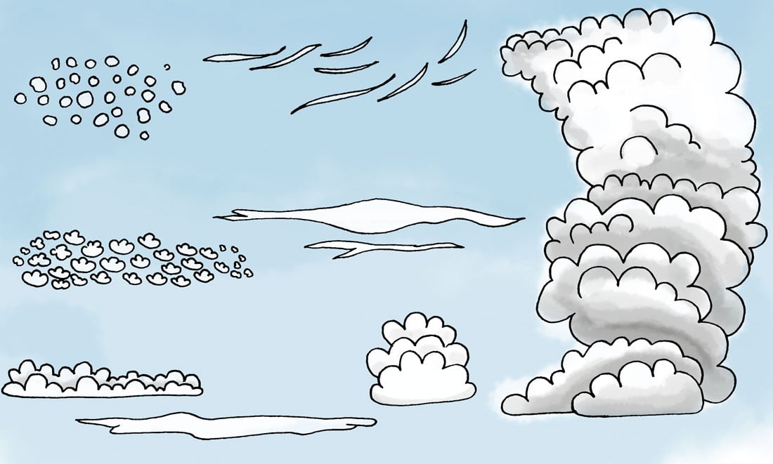
Hover or tap each cloud to learn more about each cloud formation.


Cirrocumulus is a cloud of the stratocumuliform physical category that shows both stratiform and cumuliform characteristics and typically appears as white, patchy sheets with ripples or tufts without gray shading. Each cloudlet appears no larger than a finger held at arm's length.

On planet Earth, cirrus generally appears white or light grey in color. It forms when water vapor undergoes deposition at altitudes above 18,000 ft in temperate regions and above 21,000 ft in tropical regions. It also forms from the outflow of tropical cyclones or the anvils of cumulonimbus clouds.

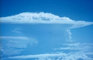
Cumulonimbus is a dense, towering vertical cloud, forming from water vapor carried by powerful upward air currents. If observed during a storm, these clouds may be referred to as thunderheads. Cumulonimbus can form alone, in clusters, or along cold front squall lines. These clouds are capable of producing lightning and other dangerous severe weather, such as tornadoes.

Altostratus is a middle altitude cloud genus belonging to the stratiform physical category characterized by a generally uniform gray to bluish-green and sheet or layer. It is lighter in color than nimbostratus and darker than high cirrostratus. The sun can be seen through thin altostratus, but thicker layers can be quite opaque.

Altocumulus is a middle-altitude cloud genus that belongs mainly to the stratocumuliform physical category characterized by globular masses or rolls in layers or patches, the individual elements being larger and darker than those of cirrocumulus and smaller than those of stratocumulus.

A stratocumulus cloud belongs to a genus-type of clouds characterized by large dark, rounded masses, usually in groups, lines, or waves, the individual elements being larger than those in altocumulus, and the whole being at a lower altitude, usually below 8,000 ft.

Stratus clouds are low-level clouds characterized by horizontal layering with a uniform base, as opposed to convective or cumuliform clouds that are formed by rising thermals. More specifically, the term stratus is used to describe flat, hazy, featureless clouds of low altitude varying in color from dark gray to nearly white.

Cumulus clouds are clouds which have flat bases and are often described as "puffy", "cotton-like" or "fluffy" in appearance. Their name derives from the Latin cumulo-, meaning heap or pile. Cumulus clouds are low-level clouds, generally less than 6,600 ft in altitude unless they are the more vertical cumulus congestus form.
Draw Attention is progressively enhanced and built according to web standards and best practices. The code is high-quality and carefully tested.
Join the 20,000+ designers and web developers who use Draw Attention to build interactive content on WordPress faster and better than ever before.


Subscribe to our newsletter for updates, tips, and exclusive offers.